Hydrating on a Hike
0 Comments
At first glance, it may seem as if Tailwind products are best suited for long, intense activity - trail running, mountain biking, marathon training, etc. However, there are countless instances where hydration and easy-to-digest calories are beneficial!
Take hiking for instance. A slow pace doesn’t mean you don’t need to simple sugars to keep your glycogen stores topped off and electrolytes to keep you hydrated! Our designer, Morgen, has some tips for using Tailwind on your next hike.
Morgen’s Tips
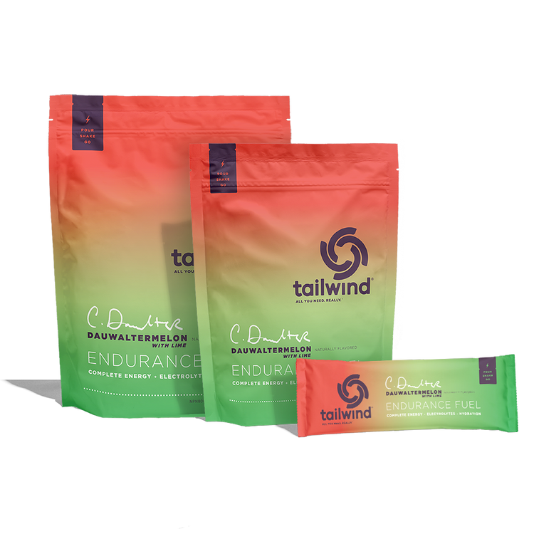
- Here in Southwest Colorado, “easy” hikes are not that frequent. The elevation, dry climate, and steep terrain mean even a two hour hike can be quickly fatiguing. Because of those factors, I bring Endurance Fuel on any hike over two hours.
-
Oftentimes (but not always), my hike will be less intense than a trail run, so I adjust my Endurance Fuel concentrate. My favorite ratio for a more mellow day is one single serving/two scoops of Endurance Fuel per 32 oz Nalgene.
Note: The standard recommended mix for Endurance Fuel is 2-3 scoops per 20-24 oz. - I do not drink nearly as much liquid when I’m hiking as I do during other activities. A 32 oz Nalgene may last me two hours! However, I want to be sure I never run out of water if my hike takes longer than anticipated, so I like to bring my MSR Trail Shot and more single serving packs of Endurance Fuel to refill en route. When in doubt, better to have too much water than not enough.
- You’re kidding yourself if you think I’m stumbling back to the car after 3,000’ of elevation gain and NOT immediately mixing up a bottle of Rebuild Recovery. My go to is always Coffee Rebuild Recovery - aside from the great taste, I love the little hit of caffeine to make the car ride back home a bit easier.
Morgen’s Favorite Hikes
If you find yourself near Tailwind’s HQ here in Southwest Colorado, here are a few of my favorite hikes around the area!
- Sand Canyon - a great shoulder season hike outside of Cortez, Colorado
- Animas Mountain - leaving directly from Durango, this trail offers beautiful views of town and north to the mountains
- Raider Ridge - another local Durango trail, this trail traverses a large, sandstone fin above Fort Lewis College
- Highland Mary Lake Trail - a short but steep hike outside of Silverton, Colorado that leads to a series of alpine lakes
- Engineer Mountain - one of the closest summits to Durango, this 12,968’ peak is a fairly short approach but plenty steep with a bit of exposure (there are many awesome view points to hang out and turn around if the summit feels daunting)
Always remember to check weather and seasonal closures before heading out, and practice Leave No Trace principles while you are out there.
On top of that, it’s important to recognize whose land we are all recreating on. Durango itself is located on Núu-agha-tʉvʉ-pʉ̱ (Ute) and Pueblo land. The Native Land Map is a great starting point to learn about the indigenous tribes who steward this area.
We'll see you on the trails!